First edition of one of the earliest research publications issued by the Institute for Architecture and Urban Studies and an important document of its initial attempt to combine architectural theory, government-sponsored planning, and interdisciplinary analysis. Dated December 1970, it predates Five Architects (1972), Oppositions (1973), and the Institute’s best-known exhibition publications. Square 4to (11” x 11”), printed perfect-bound wrappers, 75 pages; maps, diagrams, plans, and tables printed in black, gray, and red.
Prepared for the New York State Urban Development Corporation, the report brought together Emilio Ambasz, Peter Eisenman, William Ellis, Kenneth Frampton, and Robert Slutzky—an extraordinary concentration of architects, critics, and theorists who would shape architectural discourse during the following decade. The study examines six contemporary new-town models—Columbia, Harvard, Hook, Milton Keynes, South Hampshire, and Toulouse-le-Mirail—through a systematic comparison of their circulation networks, densities, land use, public facilities, housing, industry, and capacity for change. Rejecting the modernist city as a single monumental composition, the project instead treats urban settlement as an adaptive system: a field of interdependent components capable of being isolated, diagrammed, evaluated, and recombined.
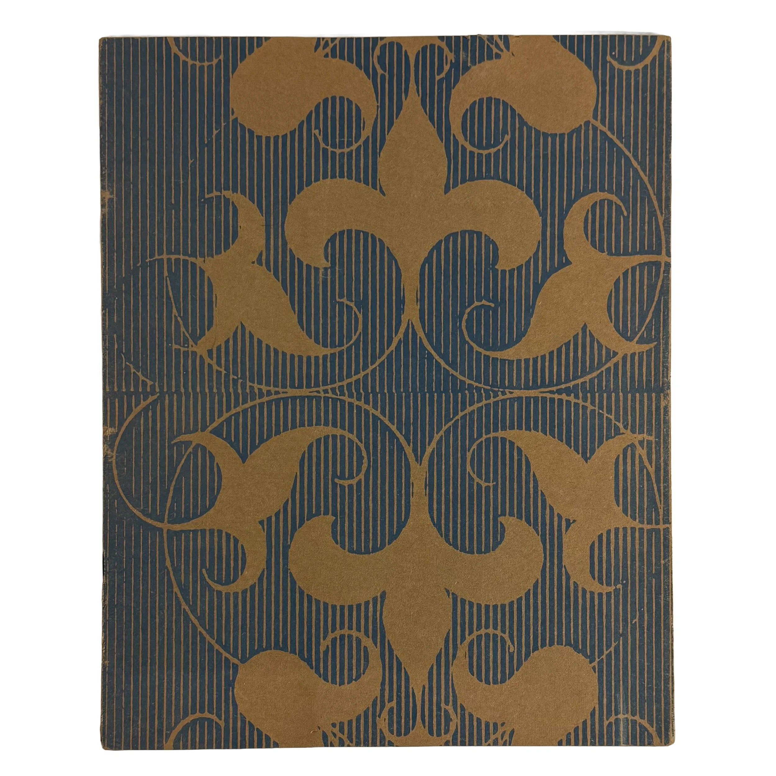
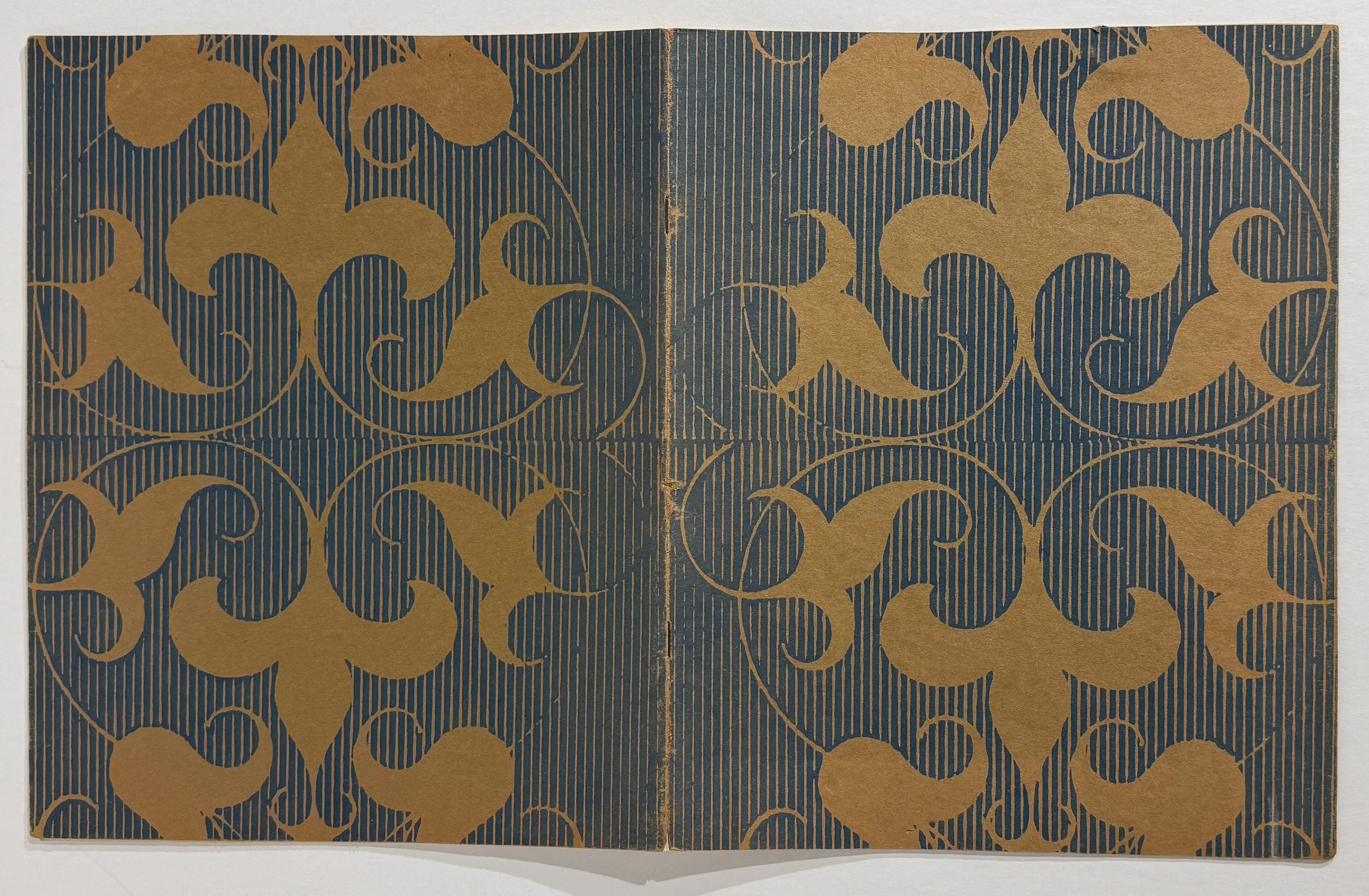
The publication’s graphic design is integral to this analytical program. Robert Slutzky’s blue-and-white cover reduces the city to a nearly heraldic arrangement of boundaries, passages, quadrants, and enclosures, while inside, the square format accommodates maps as both technical instruments and abstract compositions. Restrained sans-serif typography, generous fields of white space, delicate line work, transparent overlays of information, and selective red printing establish a visual language poised between institutional research document and Constructivist portfolio. The result is a publication that is both a substantive document of postwar new-town planning and an exceptionally refined artifact of early IAUS graphic culture. Its scarcity reflects its original institutional circulation rather than commercial distribution; no copy was located in the market at the time of posting. Hinges weakened, binding otherwise sound. Some bumping and rubbing to extremities. Moderate soiling and limited damp staining to rear wrapper, not affecting interior. Some chipping to top edge of front wrapper.
First edition of one of the earliest research publications issued by the Institute for Architecture and Urban Studies and an important document of its initial attempt to combine architectural theory, government-sponsored planning, and interdisciplinary analysis. Dated December 1970, it predates Five Architects (1972), Oppositions (1973), and the Institute’s best-known exhibition publications. Square 4to (11” x 11”), printed perfect-bound wrappers, 75 pages; maps, diagrams, plans, and tables printed in black, gray, and red.
Prepared for the New York State Urban Development Corporation, the report brought together Emilio Ambasz, Peter Eisenman, William Ellis, Kenneth Frampton, and Robert Slutzky—an extraordinary concentration of architects, critics, and theorists who would shape architectural discourse during the following decade. The study examines six contemporary new-town models—Columbia, Harvard, Hook, Milton Keynes, South Hampshire, and Toulouse-le-Mirail—through a systematic comparison of their circulation networks, densities, land use, public facilities, housing, industry, and capacity for change. Rejecting the modernist city as a single monumental composition, the project instead treats urban settlement as an adaptive system: a field of interdependent components capable of being isolated, diagrammed, evaluated, and recombined.
The publication’s graphic design is integral to this analytical program. Robert Slutzky’s blue-and-white cover reduces the city to a nearly heraldic arrangement of boundaries, passages, quadrants, and enclosures, while inside, the square format accommodates maps as both technical instruments and abstract compositions. Restrained sans-serif typography, generous fields of white space, delicate line work, transparent overlays of information, and selective red printing establish a visual language poised between institutional research document and Constructivist portfolio. The result is a publication that is both a substantive document of postwar new-town planning and an exceptionally refined artifact of early IAUS graphic culture. Its scarcity reflects its original institutional circulation rather than commercial distribution; no copy was located in the market at the time of posting. Hinges weakened, binding otherwise sound. Some bumping and rubbing to extremities. Moderate soiling and limited damp staining to rear wrapper, not affecting interior. Some chipping to top edge of front wrapper.

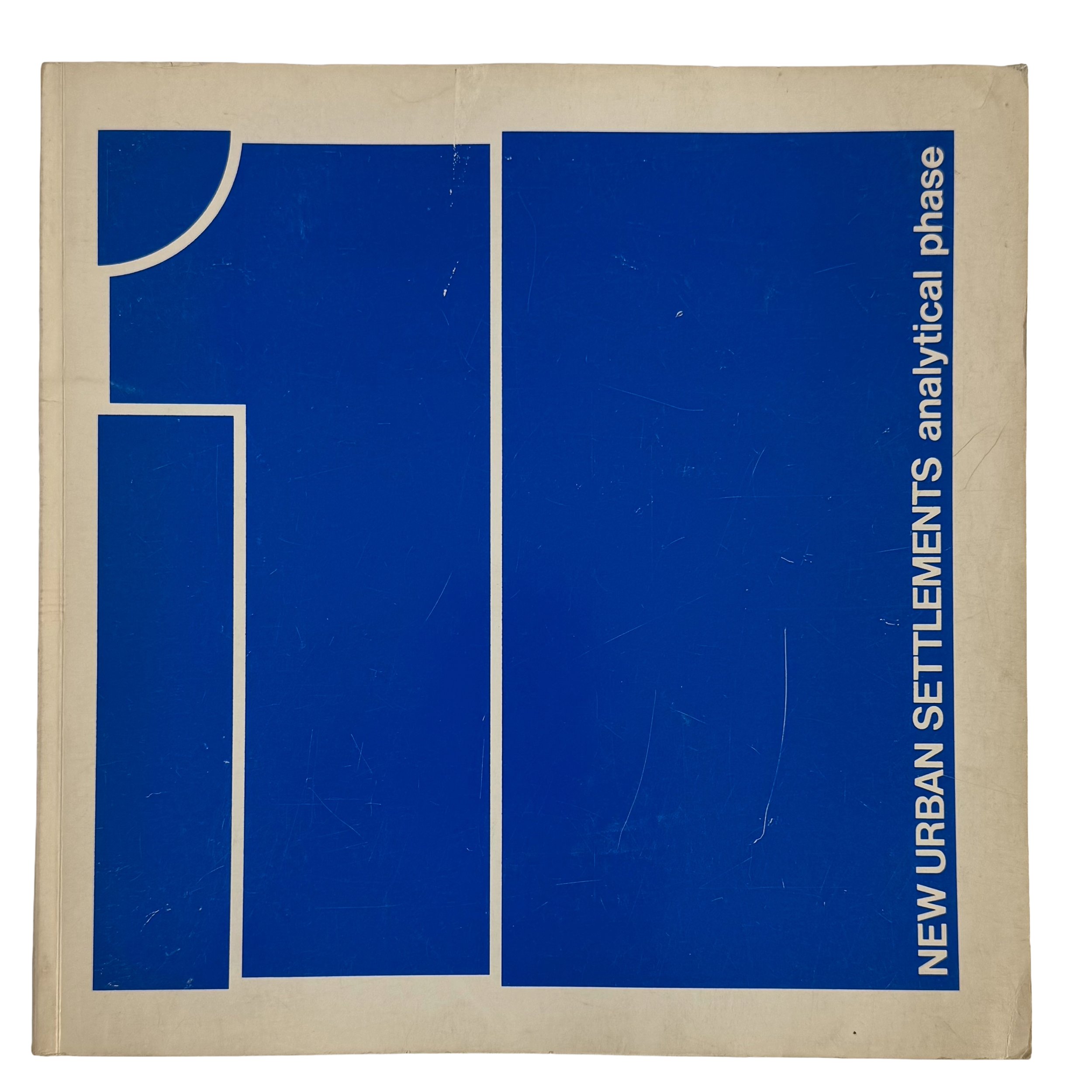 Image 1 of 9
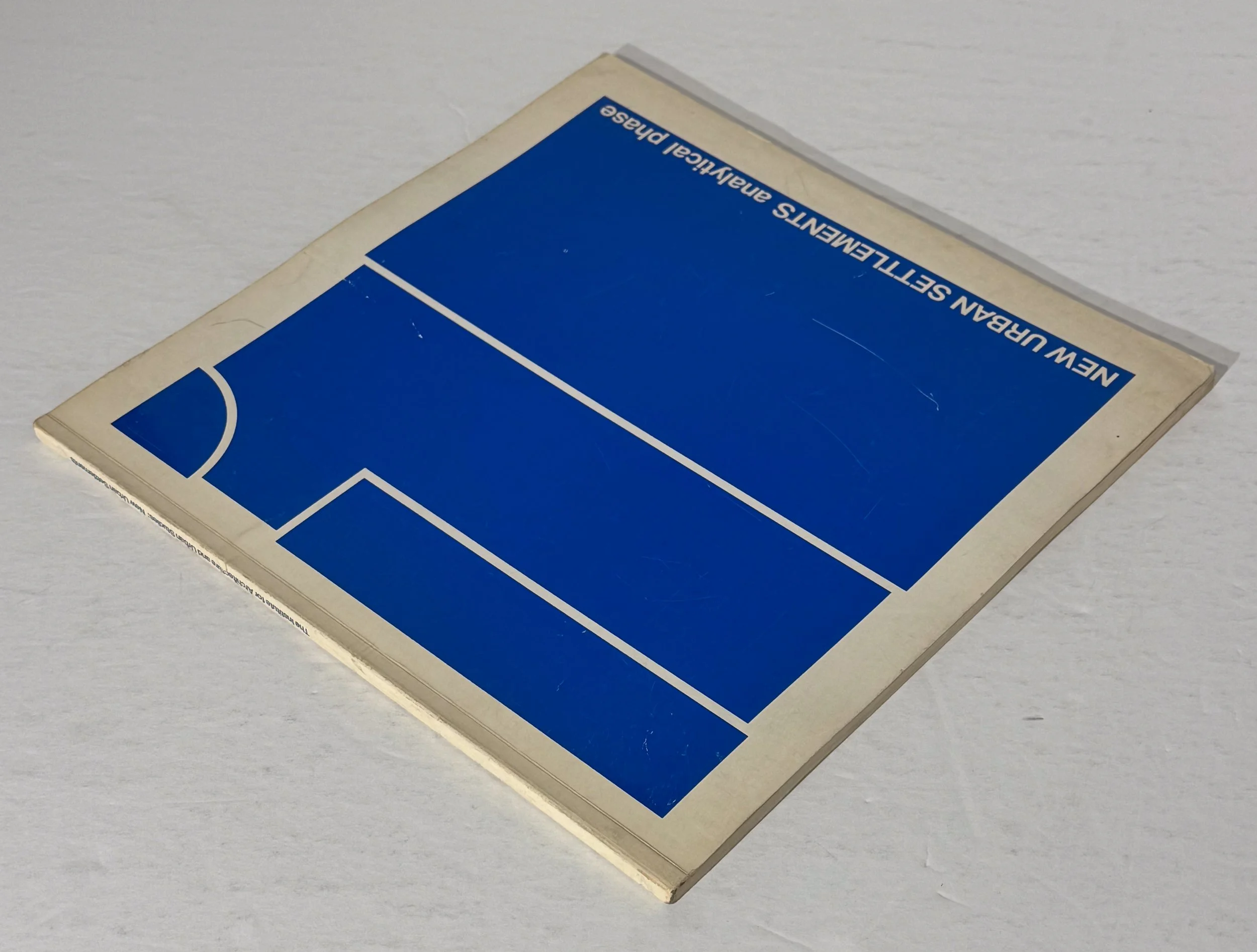 Image 2 of 9
 Image 3 of 9
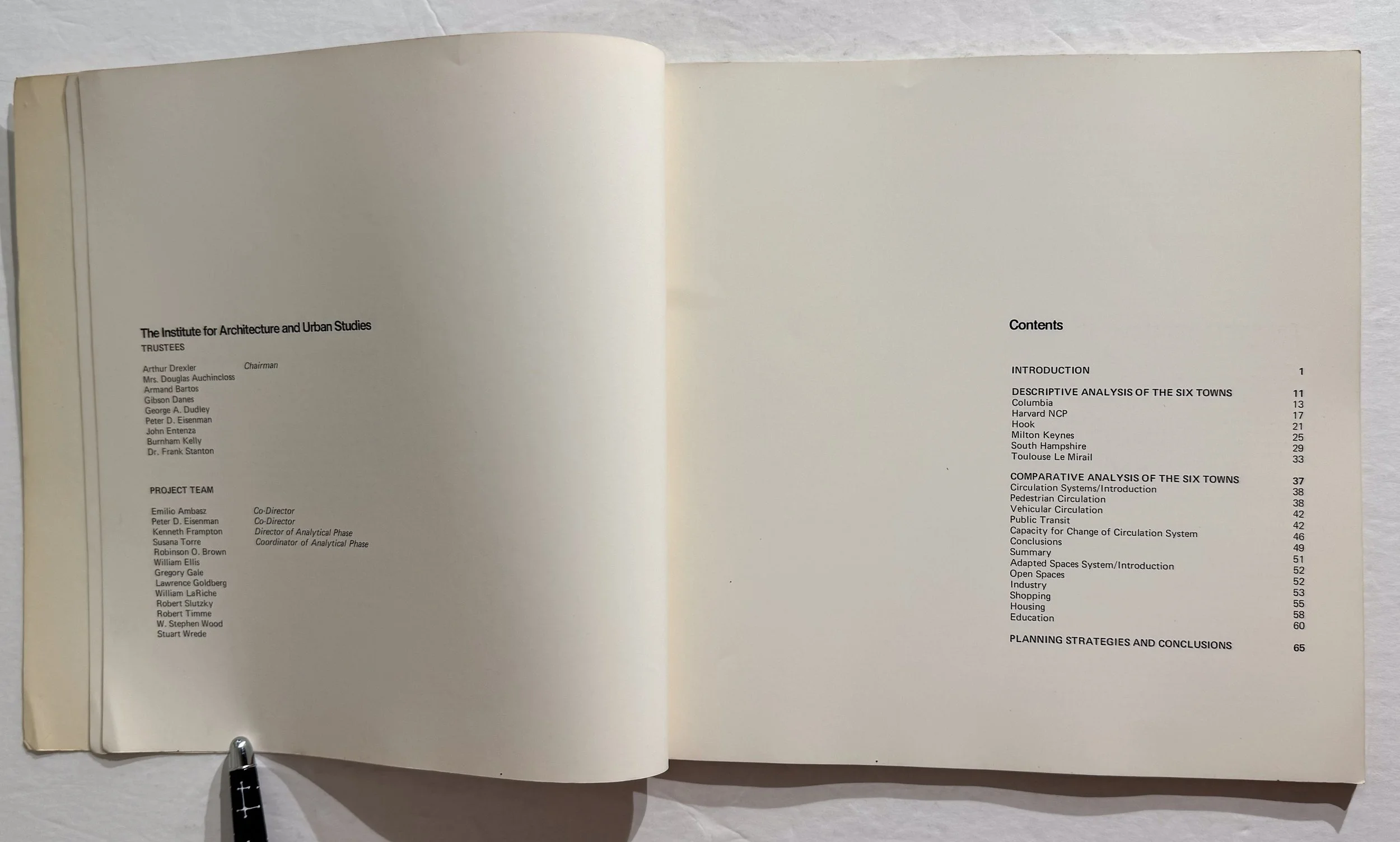 Image 4 of 9
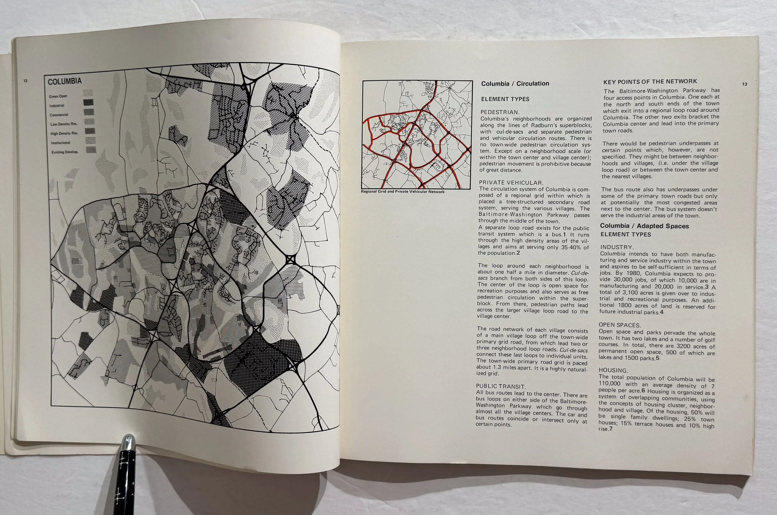 Image 5 of 9
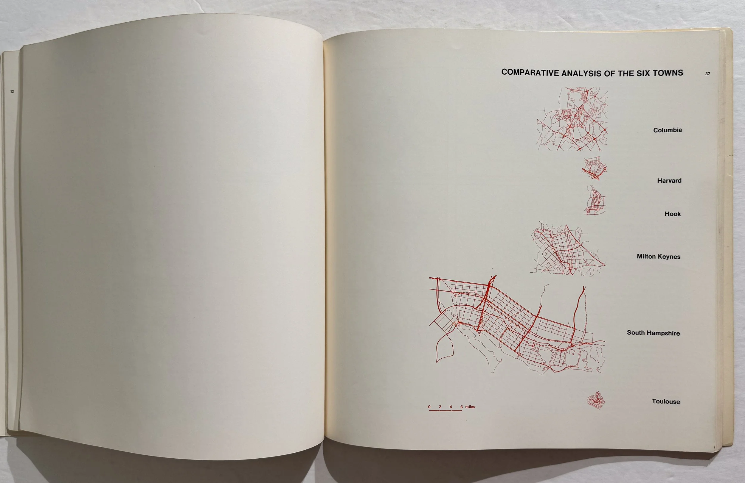 Image 6 of 9
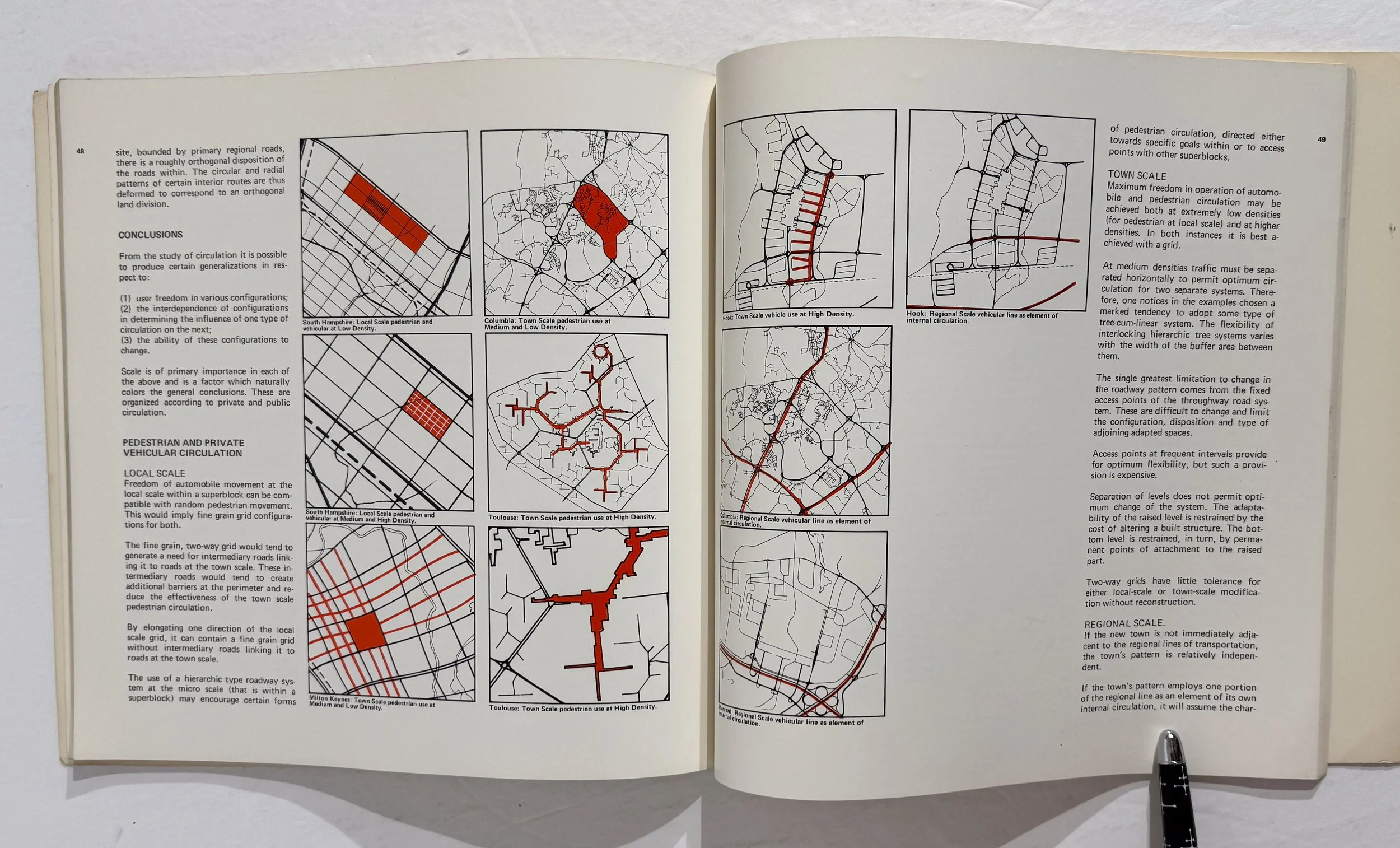 Image 7 of 9
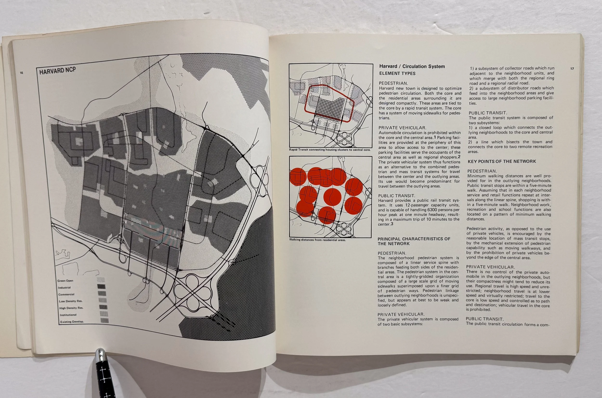 Image 8 of 9
 Image 9 of 9